Air travel for many professionals has become boringly routine. Hopping on a jet aircraft and flying across the country at 400+ knots loses novelty if it is repeated on a regular basis. However, air travel is still a fantastic opportunity for the curious geographer to engage their topic and even produce new useful media. The view of the earth from typical flight levels is truly amazing, and with a little planning and some luck, you can make sure you are in the right place to get some nice photos of your favorite landscape features.
Plan your flight around photos
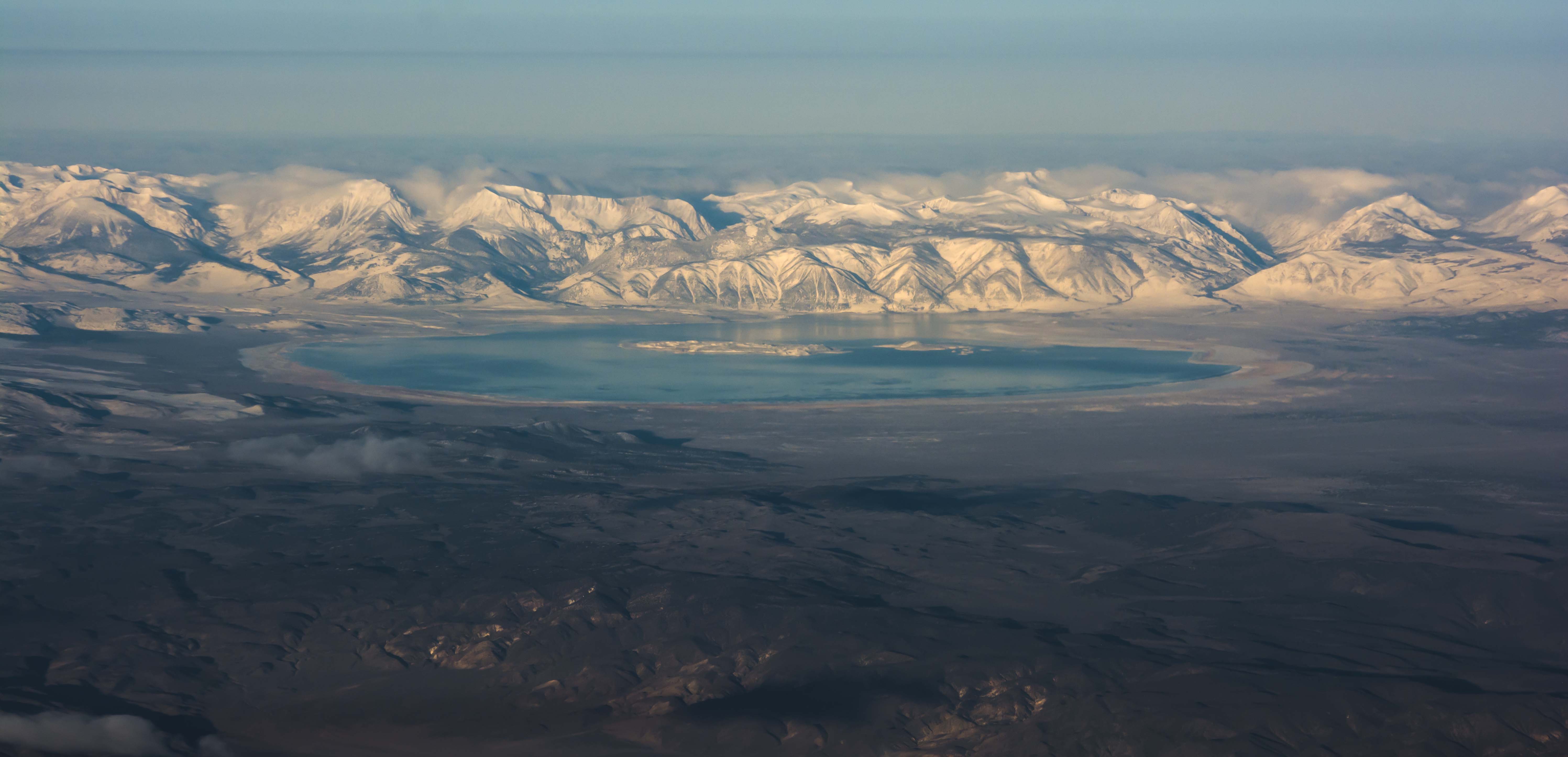
Nobody takes more advantage of this than my friend Kelly Redmond, the regional climatologist at the Western Regional Climate Center. Kelly uses apps like FlightAware to evaluate typical flight paths for upcoming trips on his rather compressed travel itinerary, and books the flights and seating positions that will take him past the landscapes that he wishes to photograph at the correct light angle. Sometimes these are seasonally-dependent, such as snow cover on different mountain ranges or reservoir levels. Kelly picks his window seat on the aircraft to avoid the wing, and also chooses the side of the aircraft away from the sun to prevent problems with window flares and reflections. In every single presentation that I’ve seen Kelly give, he includes some interesting photo from a recent flight. These types of in-person images help illustrate a familiarity with the subject that is crucial for large/diverse audiences.
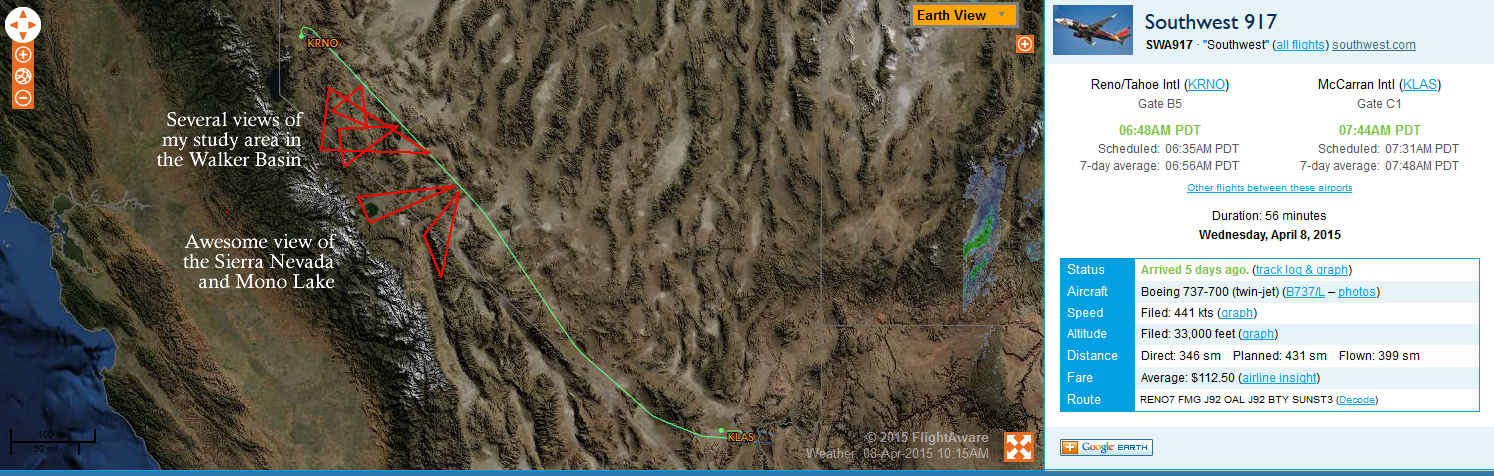
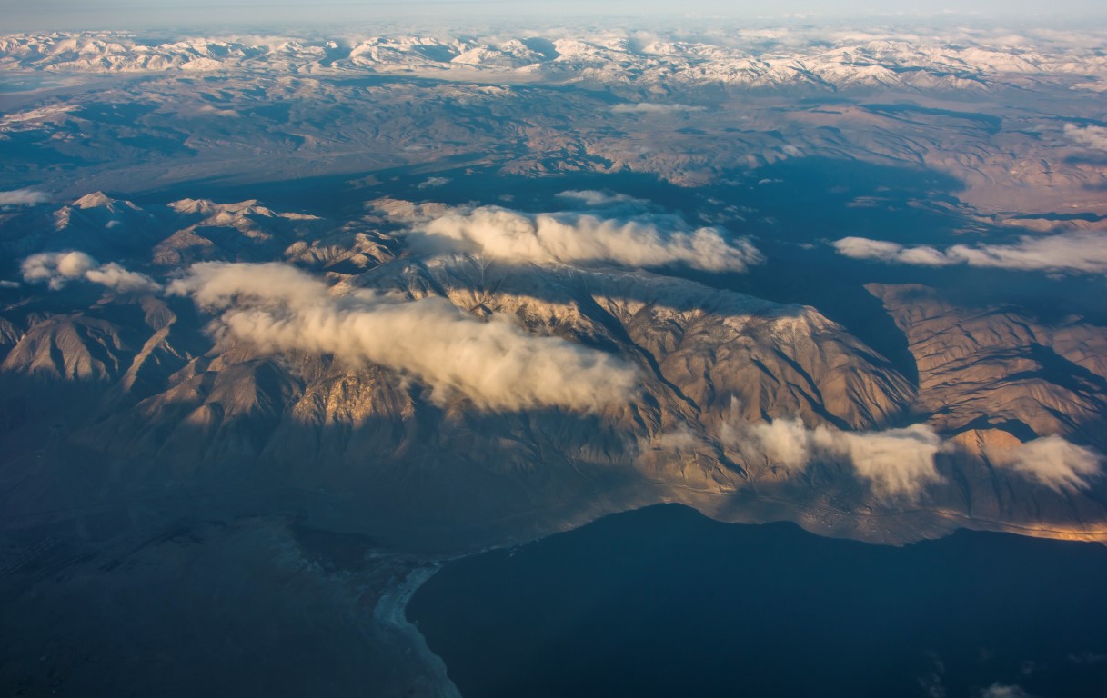
I’ve started following Kelly’s example, although I don’t fly nearly as much as he does. My last trip to Las Vegas from Reno worked out exactly as planned – I got the early flight, found a window seat in the rear of the aircraft on the starboard side, and took several photos of one of my study areas in the morning sun.
Make sure you have the right tools
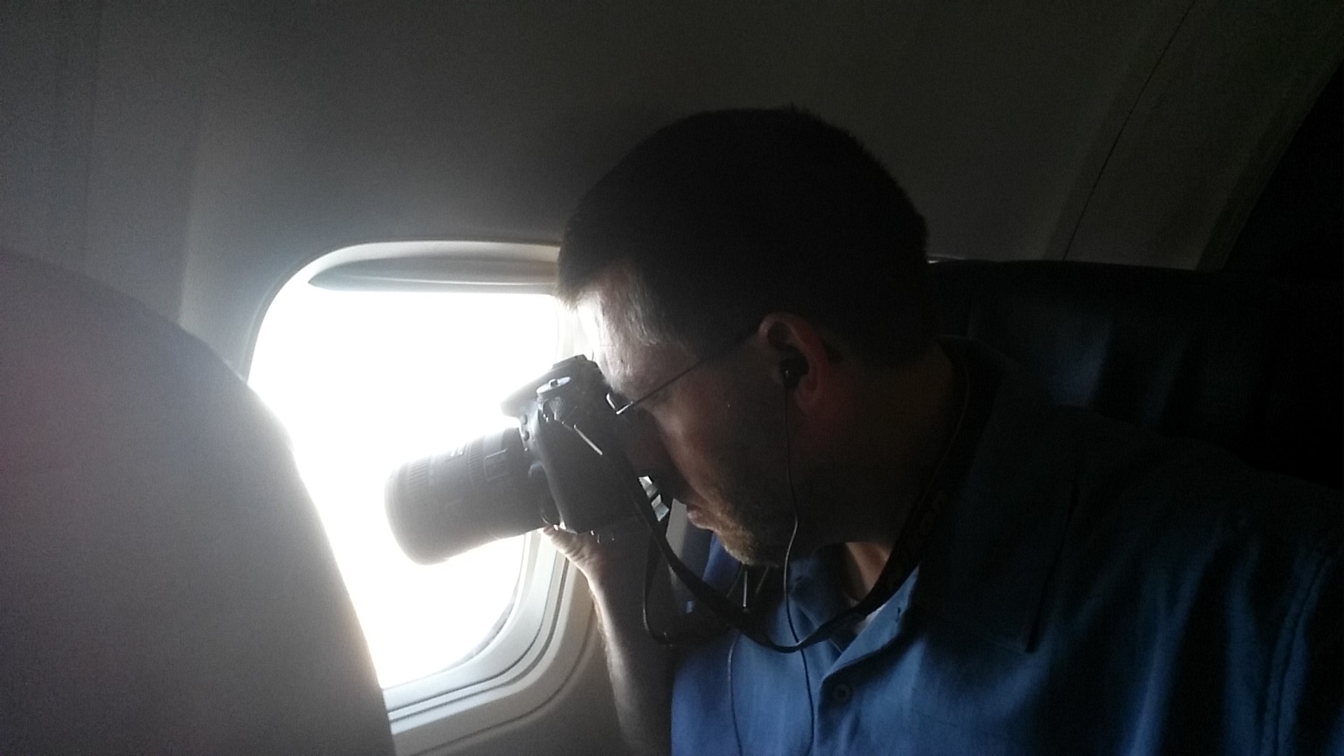
Taking decent photos from an airline seat is not easy – you have to set a high shutter speed (1000/sec or better) to avoid camera shake, you will want a flexible zoom lens, and because of light scatter and other atmospheric phenomena you will want to shoot in RAW and edit later. Filters are not much help in combating haze it turns out; rather just rely on your developing process to get the contrast back.
So, rather than book any old flight and sleep or play video games to prevent boredom, plan ahead and practice your aerial photography skills.